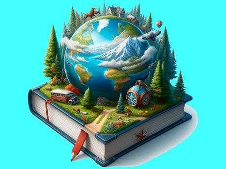
Tests. I explore the world Grade 4. The nature of continents and oceans
 Intermediate
 Test
Test
 1 hrs
1 hrs
Tests. I explore the world Grade 4. The nature of continents and oceans - Ukrainian is backordered and will ship as soon as it is back in stock.
What is Unibot?
What is Unibot?
Unibot is a platform for educational systems that combines an administration panel and a chatbot. It allows you to easily upload data, customize chatbots without programming, and manage courses. It supports multilingual bots, content management, and optimized resource utilization for efficiency. The platform makes educators' work easier by automating repetitive tasks. Different pricing plans are available, from basic to premium, which differ in the number of supported bots, languages, messages, and other features.
More information
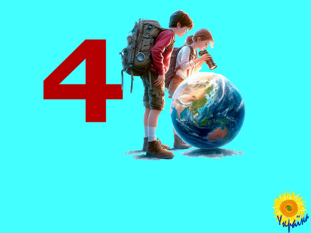
This diagnostic work is designed to assess the knowledge acquired by 4th grade students on the topic "I Explore the World," specifically focusing on "The Nature of Continents and Oceans." The test evaluates how well students understand the diversity of nature across continents and oceans, their ability to orient themselves in the environment, and their knowledge of map use and weather forecasting. The diagnostic work can be used independently of specific textbooks.
Structure of the Test
- Tasks 1-5: Evaluating understanding of maps, orientation methods, and basic geographic features.
- Tasks 6-10: Assessing knowledge about continents, oceans, weather patterns, and local natural features.
- Results of the Diagnostic Work: Measuring achievements and identifying areas for improvement.
Key Information about the Test
Expected outcomes from completing this diagnostic work include assessing competencies in the following areas:
- Understanding Maps: Knowing the significance of different types of maps.
- Orientation Methods: Naming methods for orientation on land.
- Geographic Knowledge: Identifying continents and oceans.
- Natural Disasters: Understanding behavior during earthquakes and floods.
- Local Water Bodies: Providing examples of local water bodies and their names.
- Geographic Features: Recognizing plains, mountains, hills, and ravines.
- Significance of Maps and Weather Forecasts: Explaining the importance of maps and weather forecasts, and their use in daily life.
- Weather Observation: Observing and recording changes in weather elements (air temperature, wind, cloud cover, precipitation).
- Diversity of Nature: Describing the diversity of nature across continents and ocean inhabitants.
- Map Skills: Finding and showing continents, oceans, and other objects on maps according to educational tasks.
- Weather Prediction Methods: Learning about weather prediction methods and folk signs of weather changes from various sources.
- Orientation Tools: Using a compass, the Sun, and local landmarks for orientation.
- Weather and Seasonal Changes: Observing weather and seasonal changes in the local environment.
- Compass Skills: Determining cardinal directions using a compass.
- Application of Knowledge: Applying knowledge to weather observation, room planning, and land orientation.
- Overall Understanding: Drawing conclusions about the diversity and integrity of Earth's nature.
-
Genre
-
Target audience
-
Language version
-
Subject area
-
Recommended age group
-
Course time
-
Book author
-
Author Collection
Interactive elements in courses make learning engaging and effective!